Major Winter Storm to Strike Eastern U.S. This Weekend through Early Next Week
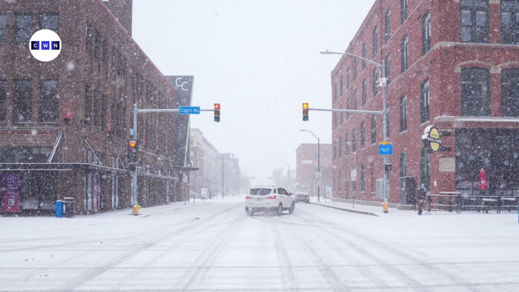
A major winter storm will impact much of the eastern U.S., bringing snow, ice, and severe weather that will disrupt travel and cause power outages. As a result, this storm, lasting from Saturday to Monday, will affect over 45 million people from the Central Plains to the East Coast.
Early Snowfall and Initial Impact: Friday through Saturday
Before the major storm system fully develops, light snow began falling across parts of the Northeast on Friday afternoon. Maryland to southern New Jersey is expected to get 1 to 2 inches of snow, continuing through Friday night. In addition, this includes regions along the Interstate 95 corridor, from Washington, D.C., to New York City. Motorists in these areas should expect slippery roads and reduced visibility, particularly during the evening commute.
Winter Alerts Across the Central U.S. and Mid-Atlantic
Winter storm alerts are already in effect for much of the Central U.S. and Mid-Atlantic region, with more than 45 million people under some form of winter storm advisory, watch, or warning. The storm will begin to intensify late Saturday as it moves into the Central Plains. By Sunday, it will bring heavy snow and ice to the Ohio Valley and parts of the Midwest, creating severe travel disruptions.

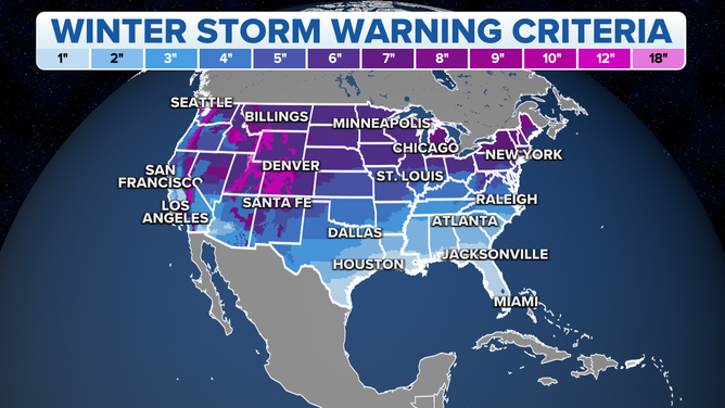
The National Weather Service warned that significant snow and ice will affect cities like St. Louis, Indianapolis, and Cincinnati. Specifically, these areas are expected to receive 6 to 12 inches of snow, along with ice accumulations ranging from 0.25 to 0.5 inches. As a result, the combined impact of snow and ice will likely create dangerous travel conditions and increase the risk of power outages, as ice brings down trees and power lines.
Blizzard Conditions Expected in the Central Plains
As the storm strengthens on Sunday, wind gusts exceeding 35 mph, along with heavy snowfall rates, could create blizzard-like conditions across the Central Plains. Consequently, the National Weather Service warns residents to prepare for whiteout conditions, making driving hazardous or impossible. Areas most at risk for these dangerous conditions include parts of Kansas, Nebraska, and Missouri.
The storm will also trigger severe thunderstorms across the South, with millions in southeast Texas, Mississippi, and southern Tennessee facing high winds, hail, and possible tornadoes. These storms will, therefore, continue to push eastward into the Ohio Valley and Mid-Atlantic on Sunday evening.
Hazardous Ice and Sleet Conditions on Sunday
On Sunday, sleet and freezing rain will move from eastern Kansas and the Ozarks into the Ohio Valley. The storm will likely cause significant ice buildup in the central Appalachians by Sunday night, creating dangerous travel conditions. Areas with over a quarter-inch of ice will be especially vulnerable to power outages, as ice weighs down tree limbs and power lines.
Monday Storm Impact from Ohio Valley to Northeast
As the storm moves east, Monday will, therefore, be messy for the Ohio Valley, Mid-Atlantic, and Northeast. Cities like Pittsburgh, Richmond, D.C., Baltimore, and Philadelphia will experience snow, ice, and rain. Moreover, the heaviest snow, 6 to 12 inches, will fall south of New York City, while other areas will face significant ice buildup.
Arctic Air to Follow: Dangerous Cold for Much of the U.S.
Arctic air from Canada will bring colder temperatures to much of the country. By midweek, temperatures will be well below average in the northern Plains, Midwest, and Southeast. Areas with snow and ice will also face dangerously cold conditions, hindering recovery efforts.
Tips for Preparing for the Storm
- Travel: If you have travel plans this weekend or early next week, consider postponing or rerouting your trip to avoid dangerous road conditions. Monitor local weather and traffic reports for updates.
- Power Outages: Prepare for the possibility of power outages. Ensure you have backup power sources, such as flashlights, batteries, and a portable phone charger. Keep extra blankets and warm clothing available.
- Winter Safety: Make sure to dress in layers if you need to go outside, and avoid prolonged exposure to the cold. Use caution when walking on icy sidewalks and driveways.
- Emergency Kit: Prepare an emergency kit with essentials such as bottled water, non-perishable food, a first-aid kit, medications, and any other items you may need in case of an emergency.
Conclusion: Stay Prepared for Major Winter Weather
This storm will bring dangerous conditions, including snow, ice, and blizzards. Stay informed and take precautions to protect yourself, your family, and your property.
Winter weather can change quickly, so stay prepared with a plan. Ensure your vehicle is ready for winter conditions and keep emergency supplies for power outages or delays.
Stay safe, stay warm, and be prepared for the coming winter storm.


